Switzerland · Planning guide
Hiking in Switzerland Without a Car
The network makes remarkable point-to-point hikes possible. The useful skill is learning to plan around the rare bus, small cable car or final valley shuttle that can decide the whole day.
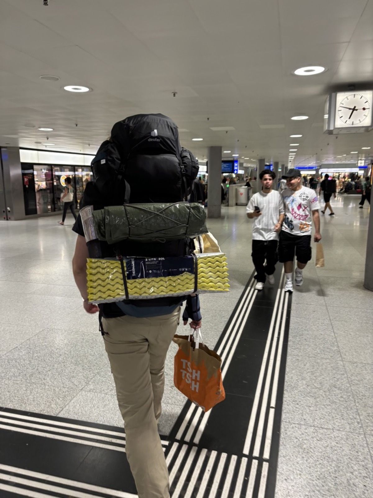
Five things first
In brief
- Main advantage Public transport makes point-to-point hikes and full crossings much easier to plan.
- Check the weak link The rare PostBus, small cable car or final shuttle matters more than a frequent train.
- My rule Always check the final two realistic connections home.
- Tickets EasyRide is convenient, but advance tickets and day passes can be cheaper.
- Honest limit A car still helps with very early starts, remote valleys, heavy equipment and the edge of the season.
Switzerland’s dense public-transport network makes an enormous number of hikes possible without a car. Trains operated by SBB and other companies, PostBuses, local buses, alpine taxis and countless mountain railways can take you surprisingly far into remote valleys and to high trailheads.
That is why I complete most of my hikes in Switzerland without driving.
For me, the greatest advantage is not the price or the speed but the freedom it creates when planning a route. With a car, you quickly begin to think in loops: you start at point A and eventually need to return to point A.
Public transport removes that restriction. You can start on one side of a mountain, cross a pass and descend into a completely different valley. You can shorten a route, finish at another cable car or choose another valley if the weather changes.
Many of my favourite hikes in Switzerland work especially well for exactly this reason.
Why I often prefer the train
A car can of course be practical. Even so, for many classic Swiss hikes I would first check whether the route works better by public transport.
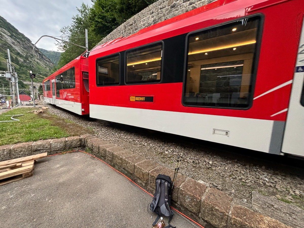
The rail network is fast. On some longer journeys, trains can compete with driving times or even be quicker because the main lines use large tunnels beneath the Alps.
More important to me is the ability to plan a complete crossing.
A good example is my hike from Attinghausen over Surenen Pass to Engelberg. In the morning, you travel to Attinghausen, take the small cable car to Brüsti, cross the entire mountain range and finish the day in Engelberg. From there, you simply take the train home.
With a car, the final question would be how to get back to Attinghausen.
The same principle applies to many other routes. We began our Greina hike in Campo Blenio in Ticino and emerged several days later in Curaglia in Graubünden. The route from Hinterbergen over Rigi Scheidegg finishes at Arth-Goldau, far from its starting point.
I often find these hikes more interesting than walking the same way back to a parked car.
SBB Mobile is my main transport-planning tool
For travelling to and from hikes, I use the SBB Mobile app almost exclusively.
It contains much more than trains. A large share of PostBus services, local buses, boats and mountain railways appear in the same timetable. The app can also save journeys and display current information about delays, platform changes and cancellations.
My planning still does not begin with the transport. I first choose the hike and decide roughly where I want to begin and end. Only then do I search for the two places separately in the app.
The outward journey is often the easy part. The more important question is: can I still get away from my planned finish at a sensible time in the evening?
In remote valleys, the final bus may leave in the late afternoon. A perfect morning connection is of little value if missing the last return service means waiting until the next day.
For every hike, I therefore check not only the first useful connection in the morning but also the final two or three realistic options in the evening.
Rare buses matter more than frequent trains
Missing a train connection in Switzerland is often only a minor problem. On many main lines, another train follows after 30 or 60 minutes.
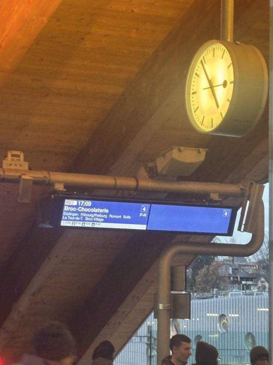
In a remote side valley, the situation can be completely different. A PostBus may run hourly, every two or three hours, or only a handful of times each day.
I therefore look for the weakest service in the entire transport chain. If the journey is train → train → PostBus → small cable car, the train that runs every half-hour is not the deciding factor. The cable car or four-times-daily PostBus probably is.
Some PostBus routes allow or require reservations. The timetable normally indicates this, and reservations may be possible online or by telephone. It is particularly relevant for seasonal mountain and pass services.
For example, buses towards parts of the Greina operate only during the summer period, and the service from Vrin to Parvalsauns requires a reservation. A connection that seems completely normal in July may no longer exist in late autumn.
Check small cable cars separately
For mountain railways, I do not rely only on SBB Mobile either. Larger systems are usually integrated well. Small private or family-run cable cars may have their own schedules, operate on request or remain absent from the national timetable.
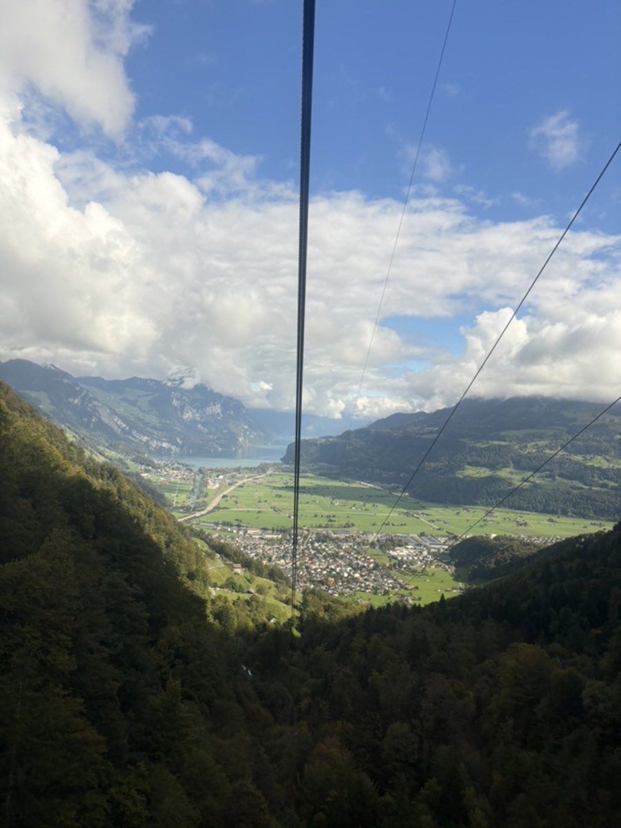
I therefore check the actual operator’s page as well.
Personally, I like these small cable cars. I am not especially enthusiastic about climbing for two hours directly beneath a large gondola only to arrive at a summit surrounded by visitors who have travelled up comfortably.
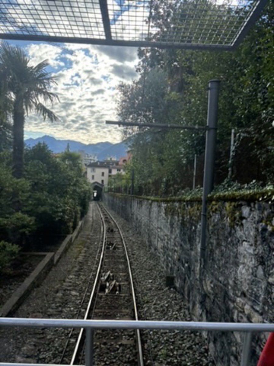
Small systems such as Hinterbergen above Vitznau or Attinghausen–Brüsti feel different. They can remove 700 to 1,000 vertical metres of an uninteresting valley climb and turn an excessively long route into a genuinely good day hike. They are often relatively inexpensive as well.
The trade-off is more restricted operating hours. Some run only seasonally, others operate on demand, and some finish in the late afternoon.
I treat the final descent as a real deadline. I never plan to arrive three minutes before closing. After a long day, I do not want to discover an extra 800 metres of descent beneath a stationary cable car.
Starting early is worth it
For longer summer hikes, I try to begin as early as the journey allows. If possible, I want to be hiking, or at least on the final approach to the trailhead, between about 06:00 and 07:00.
An early start creates a larger reserve at the end of the day. The mountains are also quieter in the morning, and even on popular routes it can keep you ahead of the main visitor flow for several hours.
Weather is another reason. Summer thunderstorms in the Alps often develop later in the day. If a long route includes an exposed ridge, I prefer to be out of the most vulnerable terrain by early afternoon.
The limiting factor is frequently not the train. Trains begin running early, while cable cars may not open until between 07:00 and 09:00 and some mountain buses offer only a few morning services.
If you want to be on a summit for sunrise, you usually need to sleep near the trailhead or climb the first section on foot. The obvious advantage is that you will often have the mountain almost to yourself.
EasyRide for spontaneous journeys
For spontaneous ordinary public-transport journeys, I find EasyRide in the SBB app very convenient. You check in before travelling, change within the participating network and check out at the destination. The system then calculates an appropriate fare for the recorded journey.
You do need to remember to check out.
I do not automatically use EasyRide for a long hiking journey that I already know in advance. Supersaver tickets and Saver Day Passes are not included. If my plans are settled several days earlier, deliberately buying another ticket can be cheaper.
Which tickets can be useful?
For a long journey to a trailhead, I would not automatically buy a standard full-fare single ticket. The best product depends on how often you travel in Switzerland, your age, whether you live here and how far you are going.
The following are especially relevant to hikers, but prices and eligibility are dynamic and should be checked for the publication year:
- Half Fare Travelcard: useful for residents who travel regularly; it reduces many train, bus, boat and mountain-railway fares.
- Saver Day Pass: can be very attractive when the morning and evening journeys cross large parts of the country and begin or end in different places.
- Friends Day Pass for Youth and Tandem Day Pass: age-limited products that can reduce group or companion travel costs substantially.
- Night GA Travelcard: may help younger travellers cover part of the journey on the previous evening.
- Swiss Half Fare Card or Swiss Travel Pass: possible options for visitors from abroad.
I would never assume that a GA Travelcard covers a mountain railway completely. Some lines are included, others offer only a discount, and private operators may have their own rules. Guest cards from hotels or tourist regions can also include local transport or cable-car reductions.
What happens if you miss a connection?
I distinguish strongly between trains, buses and mountain railways.
A missed mainline train rarely worries me. I have waited in Bern after a delayed service from Zurich caused me to miss the connection towards Visp. It was annoying, but not a serious logistical problem.
A rare PostBus is different. If the next one leaves two hours later, a missed connection can change the entire day. Timetables are coordinated impressively well, but I would not assume that every bus waits for every delayed train.
The final cable car is more serious still. Once it has stopped, there may be no other transport and the only option is to descend on foot.
An alpine taxi may exist, but I would not depend on arranging one spontaneously. Mobile reception can be poor and some services require reservations. If a taxi is a realistic backup, I save its telephone number before starting.
Hitchhiking may work, and I have used it outside Switzerland, but I would not build a hiking plan around it.
The biggest advantage: traverses rather than loops
The main benefit remains the ability to hike from A to B. With a car, the route is shaped by the question of returning to the parking place. That often means repeating the same trail or building an artificial loop even when the most interesting line ends on the opposite side of the mountain.
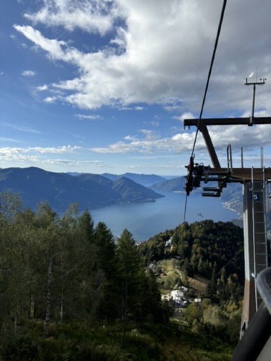
With Swiss public transport, I can climb from one valley, cross a pass and descend somewhere entirely different. It usually reveals more of the landscape and avoids unnecessary backtracking.
Several of my own routes demonstrate this:
- Klosters → Schlappin → Madrisa works with train, bus and gondola.
- Flüela Pass → Schwarzhornfurgga → Grialetsch Hut → Dürrboden would be awkward with a parked car.
- Guarda → Chamonna Tuoi → Ardez or Motta Naluns/Scuol connects different valleys and transport lines.
- Campo Blenio → Greina → Curaglia crosses from Ticino into Graubünden.
- Attinghausen → Surenen Pass → Fürenalp → Engelberg is almost a perfect example of a route made more logical by public transport.
- Hinterbergen → Rigi Scheidegg → Arth-Goldau works for the same reason.
When I would still take a car
There are situations where a car is clearly more practical. It may be the only sensible option for starting before the first bus or cable car, or for reaching an exceptionally remote valley.
This matters particularly outside the main season. By late October or November, summer buses and cable cars may have stopped even when lower trails remain in excellent condition.
A car also becomes more attractive when carrying heavy camping or photography equipment, and it may be economical for a larger group if a suitable vehicle is already available.
I am not opposed to driving. I simply would not assume that an ordinary hiking trip in Switzerland requires a car.
My planning sequence
- Choose the route and identify the intended start and finish.
- Search both points in SBB Mobile.
- Find the first useful outward journey and the final two realistic return journeys.
- Check whether rare PostBus, alpine-taxi or pass services require reservations.
- Check every small cable car directly with the operator.
- Compare suitable tickets and save both journeys.
- Download an offline hiking map.
- Check the weather again on the previous evening and in the morning.
For especially rare services, I also save a screenshot of the timetable and important telephone numbers. Discovering that essential information is only online is not helpful once you are standing in a valley without reception.
Would I recommend a car-free hiking trip?
For most classic hiking trips in Switzerland, yes, without hesitation.
Along the major rail corridors and in regions with functioning PostBus and cable-car networks, public transport can offer more route choices than a car. Traverses are easier, another valley can become the exit in poor conditions, and the whole walk does not need to be organised around a parking place.
Remote trailheads, very early starts and the edge of the season remain exceptions. For the majority of my own hikes, however, I would choose trains, PostBuses and mountain railways again.
That network is one reason hiking in Switzerland is so pleasant to me. The central question is not how to return to the vehicle, but where I actually want to walk.
Checked separately