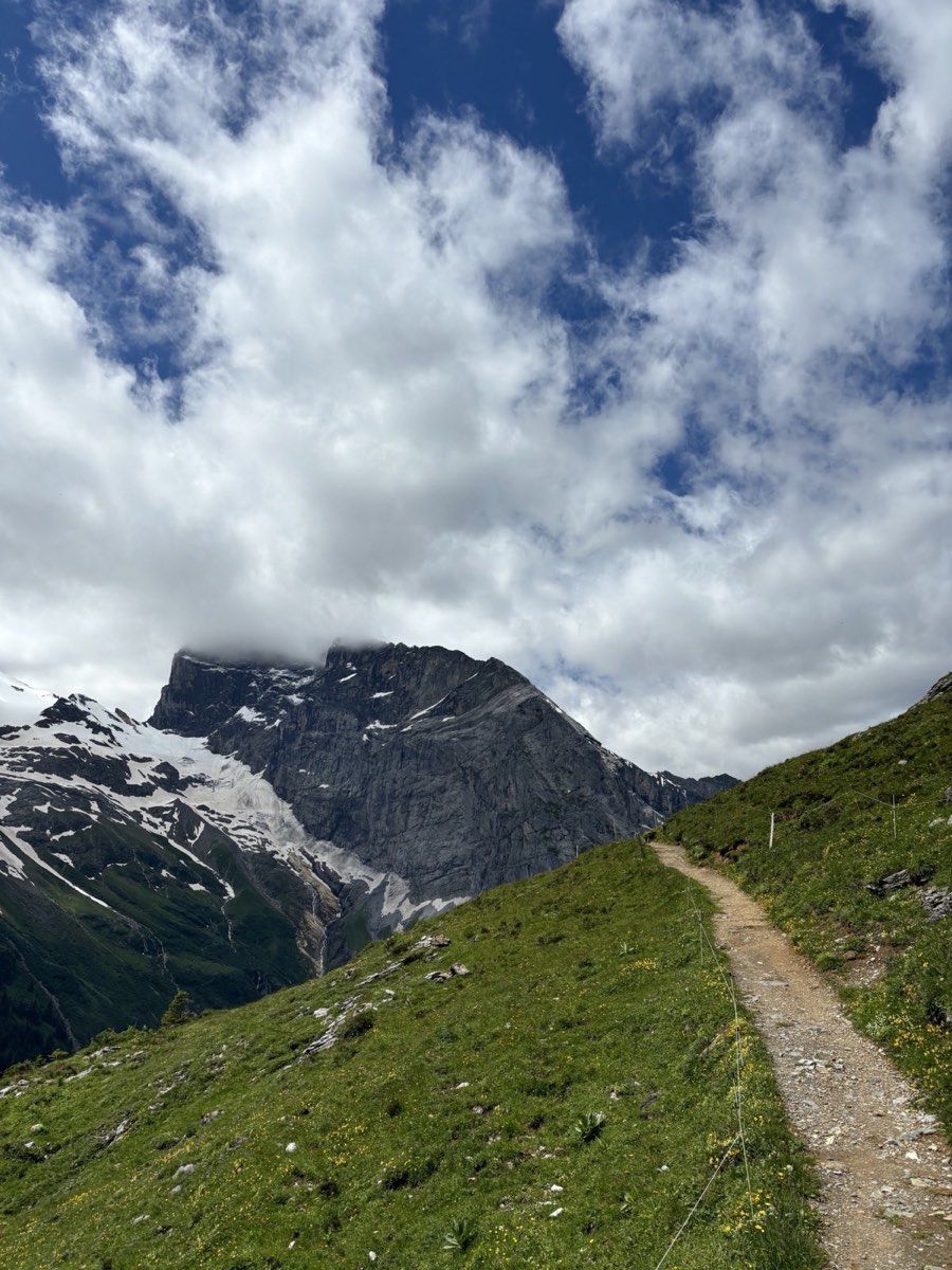
Engelberg is easy to reach by train through Lucerne in both summer and winter. We wanted to try a different approach and arrive on foot by crossing Surenen Pass from the canton of Uri.
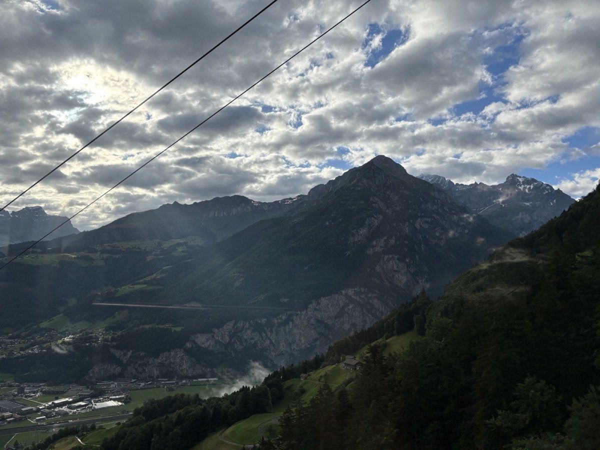
We chose a date relatively early in the summer season: 4 July. Although early July sounds like a reasonably safe time for this kind of hike, we discovered that shaded and north-facing slopes could still hold a surprising amount of snow.
Attinghausen to Brüsti
From Zurich, we took a direct train to Altdorf and continued by bus to Attinghausen. The small Attinghausen-Brüsti cable car climbs directly to roughly 1,530 metres, removing about the first 1,000 vertical metres. In 2026, a one-way adult ticket cost CHF 12. A combined Surenen Pass hiking ticket for the Brüsti and Fürenalp cable cars was also available for CHF 18.50.
We started early from Brüsti. The first section follows a beautiful ridge path near Chräienhöreli, with repeated views across the mountains of Uri. It gains height gently at first and later continues towards Surenen Pass.
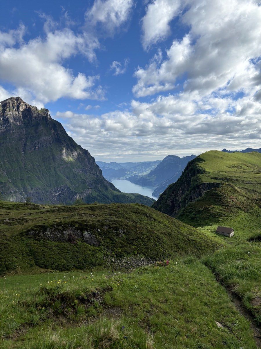
The higher peaks around the pass gradually begin to dominate the landscape, particularly Brunnistock at 2,952 metres and Blackenstock at about 2,930 metres.
Old snow below the pass
From around 2,000 metres, we encountered increasing amounts of snow. At first, this was not a serious problem. The trail was neither especially steep nor exposed and crossed the slope relatively gently. The first snowfields were straightforward to pass.
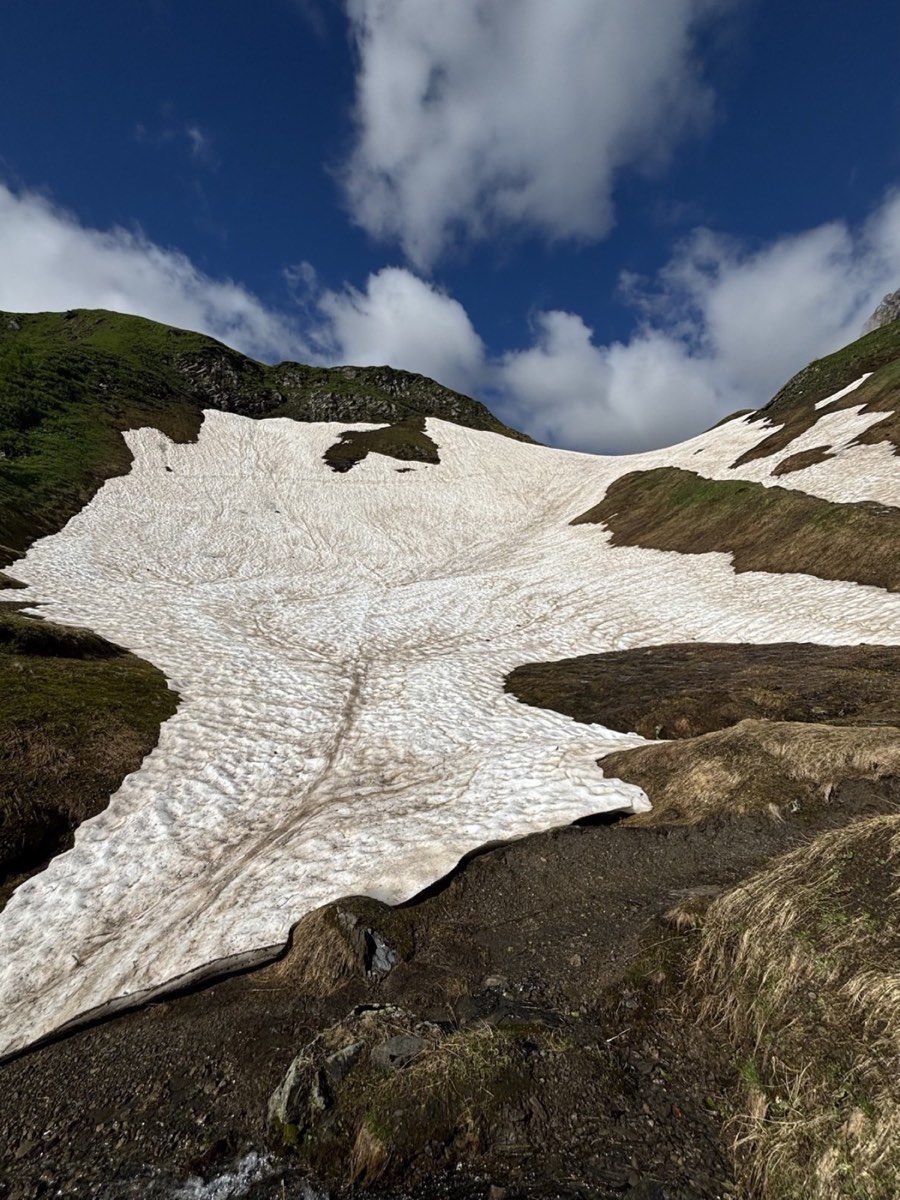
That changed on the final 250 vertical metres below Surenen Pass. Much more snow remained here, and in places we had to work our way uphill through deep old snow. We progressed considerably more slowly than during the rest of the climb.
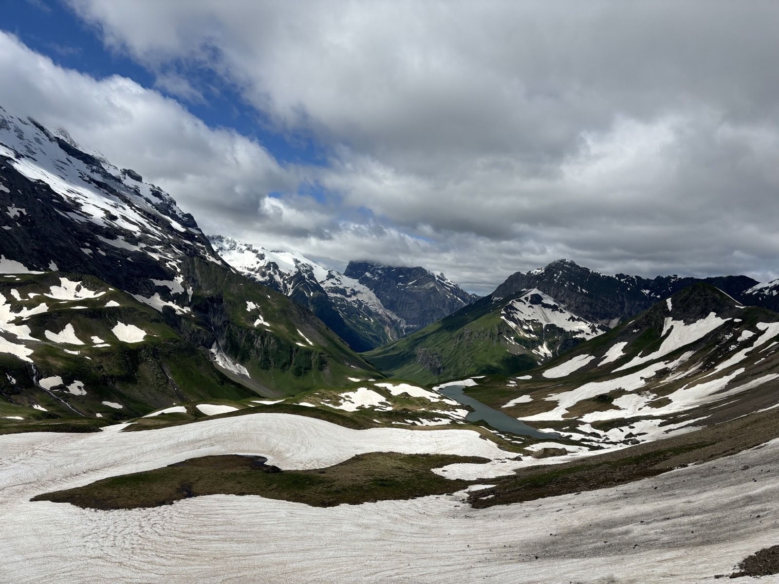
At the 2,292-metre pass, the view was almost absurd. On the shaded northern slopes, the snow was still close to a metre deep in places. On the sunny side, the mountains were already green far down into the valley.
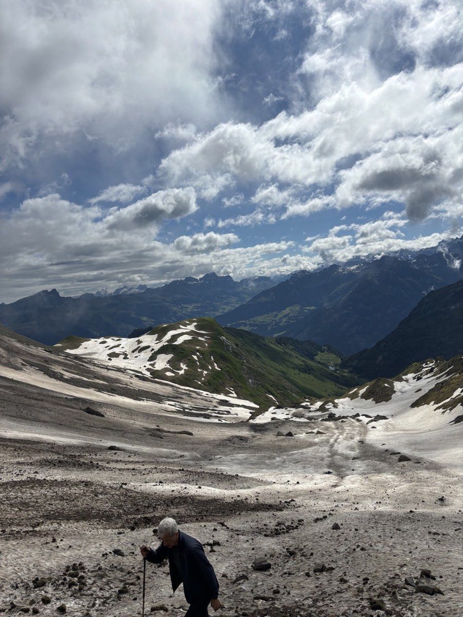
That contrast was probably the most memorable moment of the day. Within a few metres, the landscape changed from something close to winter back into green Alpine pasture.
Down to Blackenalp
Relieved to have less snow ahead of us, we passed the small shelter just below the pass and descended towards Blackenalp. The shelter is intended primarily as protection in bad weather and stands only a short distance below the col.
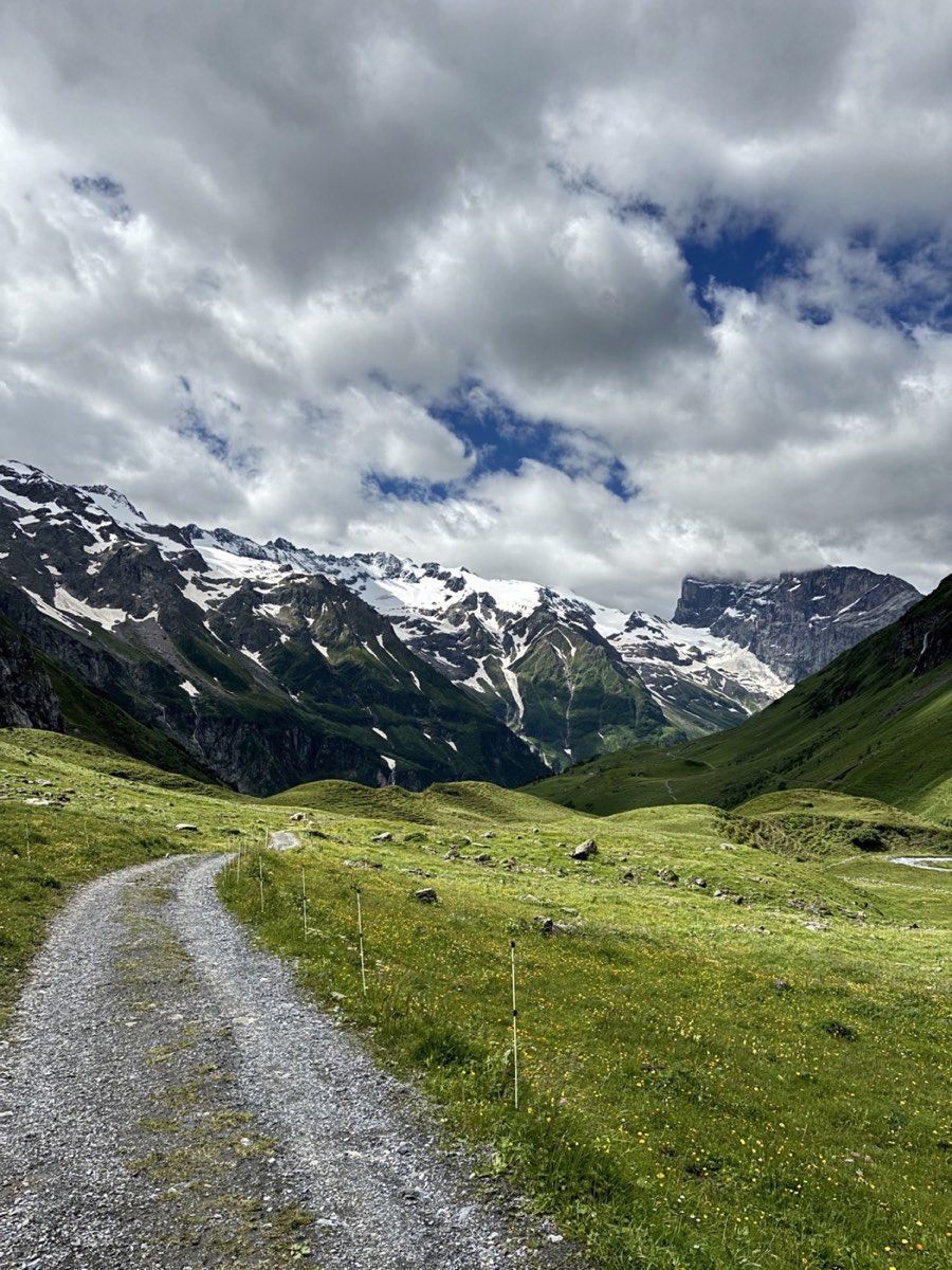
The descent leads through increasingly green terrain to Blackenalp at roughly 1,770 metres. In summer, there is also a small place to stop for food or a drink.
From Blackenalp, we continued down towards Stäuberfall. The waterfall provides another strong view and marks the point where you can decide how to finish the hike.
The extra traverse to Fürenalp
The easiest option would be to descend directly towards the lower station of the Fürenalp cable car and ultimately Engelberg. If enough energy remains, you can stay higher and make an additional traverse towards Fürenalp, as we did.
The high path follows the side of the valley and opens wide views towards the mountains opposite. Gross Spannort, Bärenhorn and later Titlis form an impressive background. After the long climb and the snowy crossing, I found this final section surprisingly pleasant.
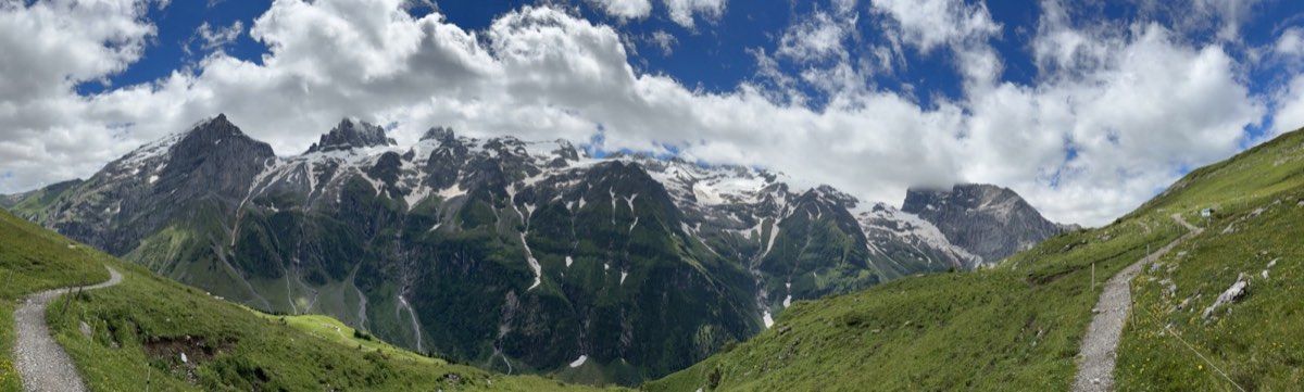
Eventually, the path reaches Fürenalp at about 1,850 metres. From there, the last roughly 850 metres down to Engelberg can be avoided by taking the cable car.
In 2026, the one-way descent cost CHF 14 for adults. The cable car normally ran about every 20 minutes, with additional services when required. In July, August and September, the published operating hours were 08:00 to 17:40.
A free local bus connected the lower cable-car station with Engelberg station during the summer season. The journey took around eleven minutes.
The recorded route was 14.8 kilometres long, with roughly 1,100 metres of ascent and 800 metres of descent.
How difficult did it feel?
Under snow-free conditions, the route felt technically fairly straightforward to me. Our recorded line follows the established mountain-trail crossing and the additional high traverse to Fürenalp. I would describe it as white-red-white mountain hiking in the T2 to T3 range, with the long distance and conditions mattering more than a single neat number.
For us, the old snow was unquestionably the hardest part. Without it, the hike would have been much easier. The deep patches below the pass made the final climb slower and more tiring.
For a crossing in late June or early July, I would always check the current snow conditions first. Webcams, swisstopo and the available SLF or White Risk information can help, but summer information is less continuous than the normal winter service.
If larger snowfields remain, it is important to judge whether they can be crossed safely. The question is not simply whether you can walk through snow. Snow hardness, runout terrain, the possibility of sliding and, depending on the situation, avalanche danger all matter. Trekking poles would certainly have helped us.
Once the pass is completely free of snow, the route is much less complicated technically. The main demands are then the length and ascent.
As a full crossing from Uri to Engelberg, however, I find it exceptionally rewarding. You begin above the Reuss valley, move gradually into a much more alpine landscape, cross the high point at Surenen Pass and descend through green pastures on the Engelberg side. With the two small cable cars and Fürenalp as the finish, it becomes an excellent long day hike.