Engelberg · Easy mountain hike
Brunnihütte to Rugghubelhütte
A panoramic high path with a real SAC hut at its midpoint, technically simple and particularly easy to divide for hiking families.
Five things first
In brief
- Route Brunnihütte to Rugghubelhütte and back on the same path.
- Scale A little over 10 km and roughly 500 metres of ascent in our recording.
- Difficulty Technically easy mountain trail; distance and ascent are the main effort.
- For families Good for older children who already hike, probably long for very young children.
- No GPX I am not publishing a track file yet; use the marked route and current information.
Getting above Engelberg
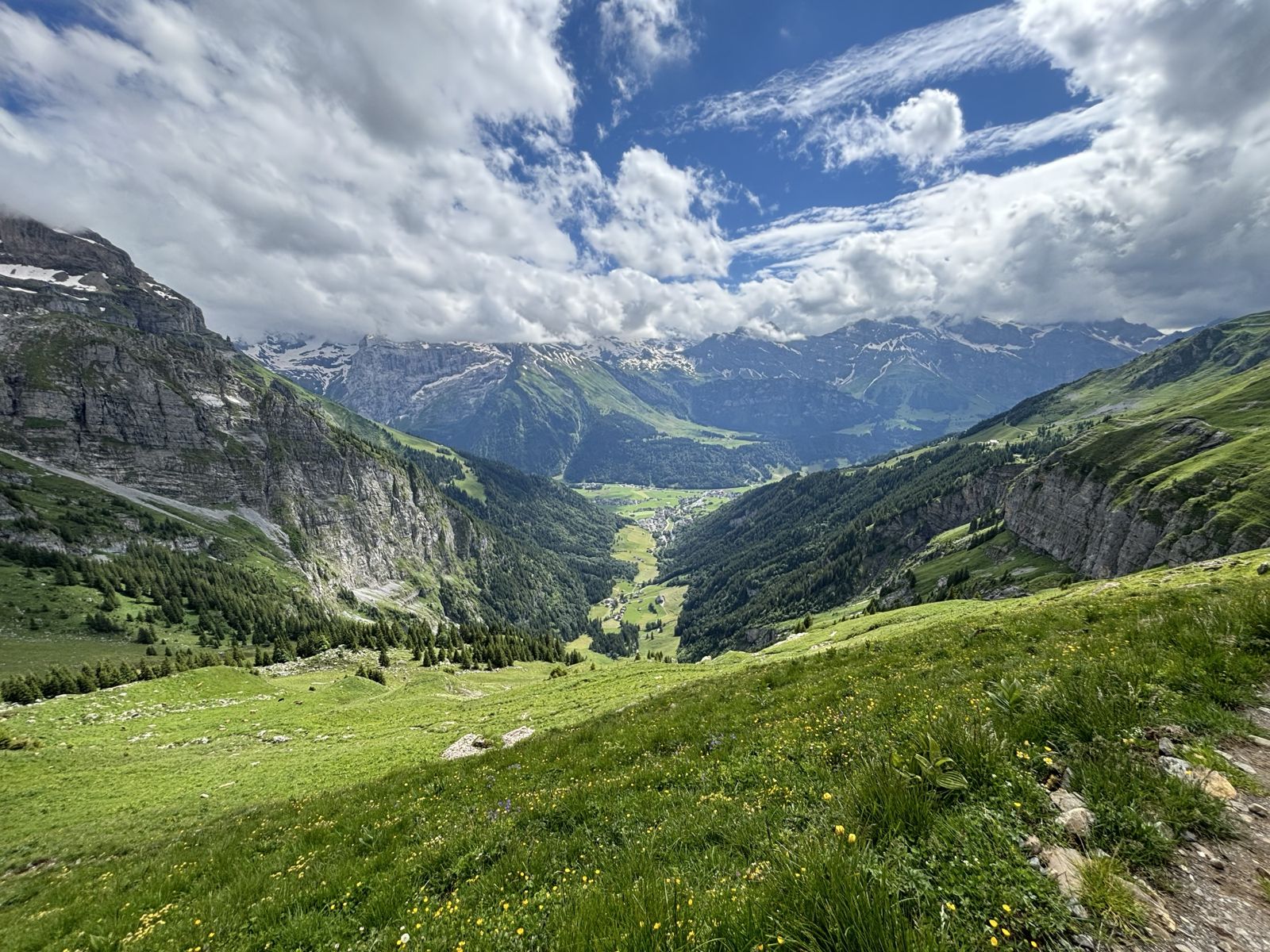
Engelberg is not only a winter destination. In summer, the Brunni side works particularly well for families and for hikers who want a real mountain day without a technically difficult route.
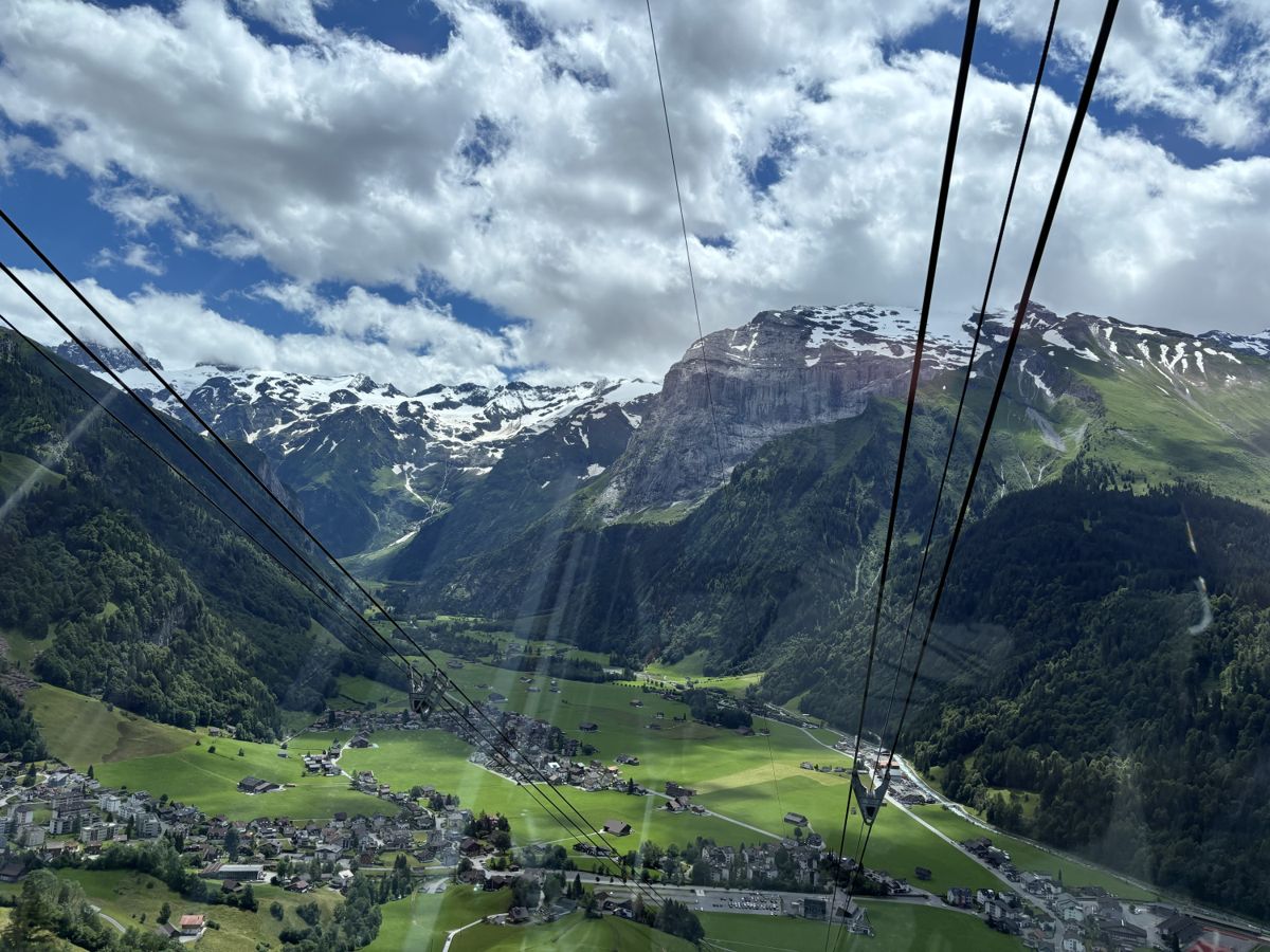
We took the cable car from Engelberg to Ristis and then the chairlift to Brunnihütte at about 1,860 metres. This removes most of the climb from the valley and places the start directly on the high path.
Härzlisee lies beside the hut, with the short Kitzelpfad barefoot trail around the water. That gives families an easy extra activity before or after the hike, rather than requiring another route.
The high path toward Rugghubelhütte
We started from Brunnihütte in the afternoon. The first kilometres follow the open slopes above Engelberg with repeated views into the valley and across to Titlis.
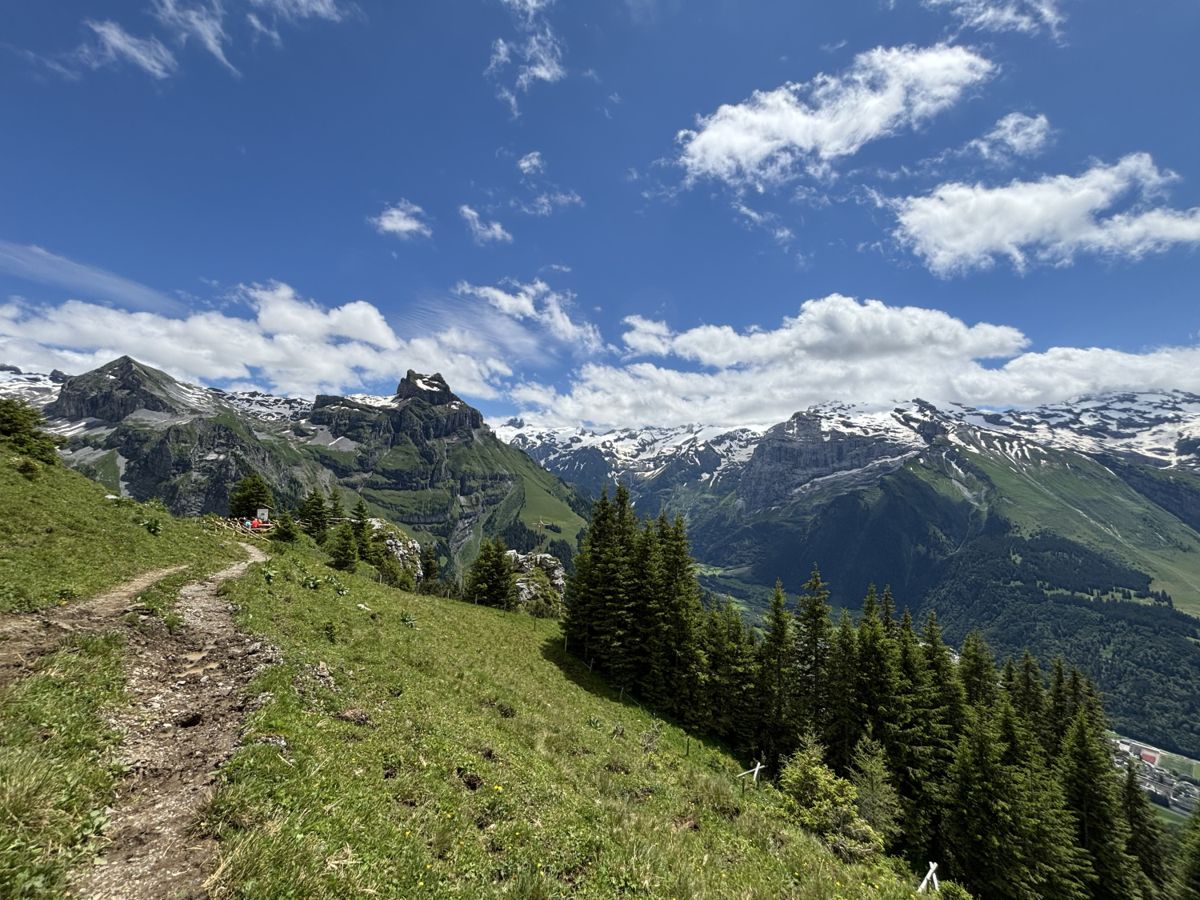
The opening is relatively relaxed and stays more or less level through the mountainside. Later the path begins to climb toward Planggenstafel. It remains well built and straightforward under normal summer conditions.
Beyond Planggenstafel the route becomes steeper and the landscape feels more alpine. You gain height more quickly, but the path is still easy to follow and rarely feels exposed.
Rugghubelhütte as the halfway point
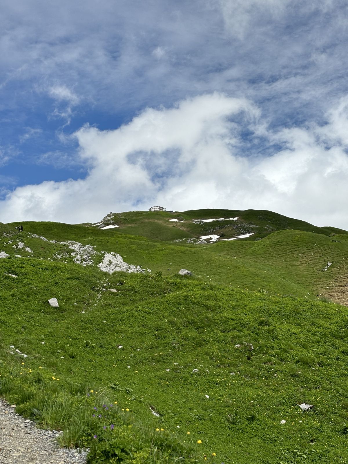
After roughly 5.25 kilometres we reached Rugghubelhütte at 2,296 metres. The hut sits above the Engelberg valley with a broad terrace and views across the surrounding peaks.
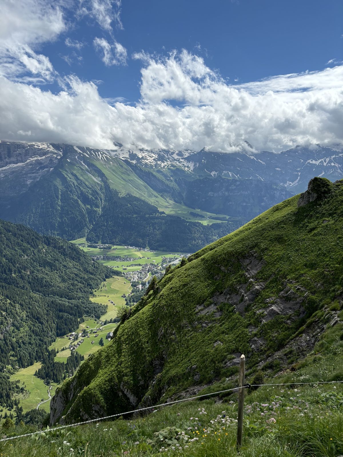
We stopped for a drink and stayed for a while before returning on the same path. The hut gives the day a clear midpoint, which is especially useful when walking with children.
How difficult is the hike?
I would call it an easy to moderate mountain hike. The route is officially described as a mountain hiking trail and is technically uncomplicated in good summer conditions.
The real difficulty is distance and ascent, not a single key passage. Our recorded outing came to a little more than ten kilometres return with roughly 500 metres of ascent and the same descent. Brunni's current route description gives 5 kilometres and 440 metres one way.
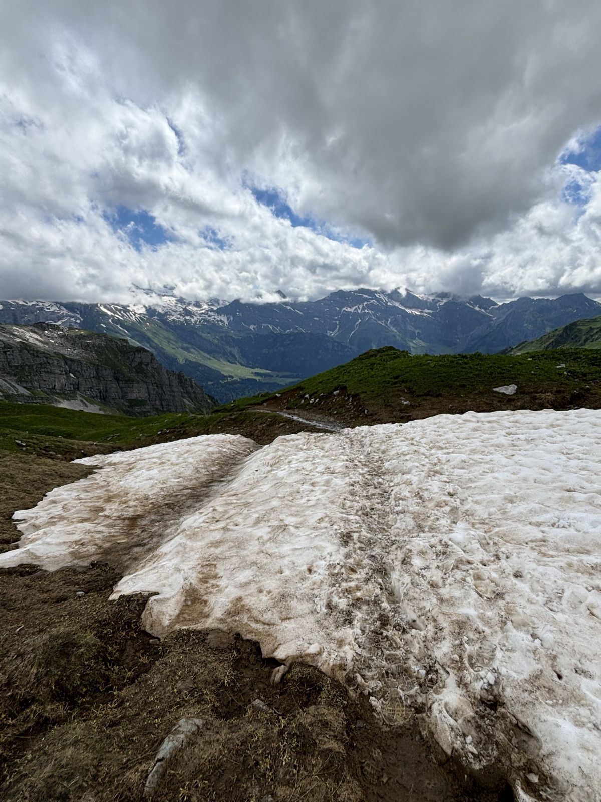
Ten kilometres can still be a lot for very young children. For older children who already hike, the hut makes the distance easier to divide. If the full route becomes too much, turning around earlier still leaves worthwhile views from the high path.
Härzlisee and Ristis afterwards
Back at Brunnihütte, the day can end around Härzlisee and the Kitzelpfad. The chairlift then returns to Ristis, where the summer toboggan run offers a completely different final activity when the weather allows it.
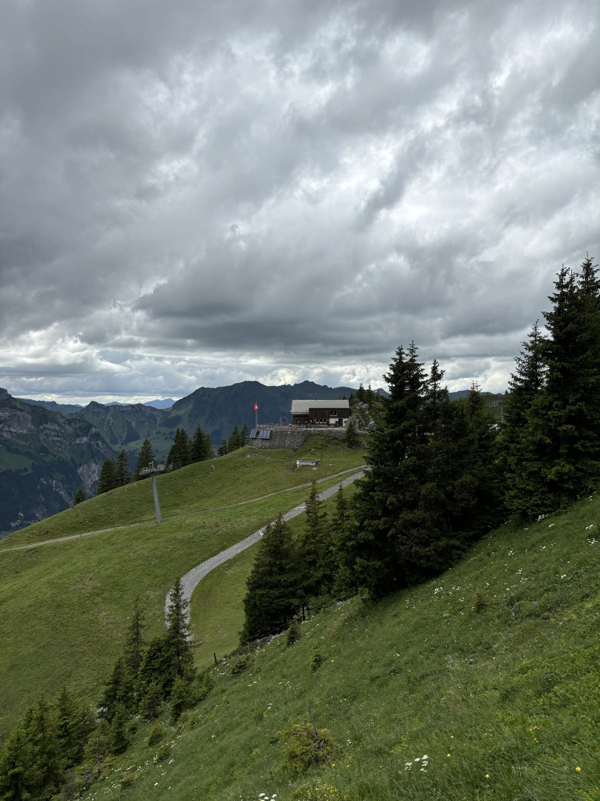
For me, the combination works because the walk is long enough to feel like a proper mountain hike but remains technically simple. The hut is a real destination, while the lake and Ristis let the day finish without another large effort.
I have not published a GPX file for this route. The distance and elevation from my recording are therefore shown as approximate, alongside the current official Brunni route figures. Use the marked trail and current local information rather than treating the numbers here as navigation.
Checked separately