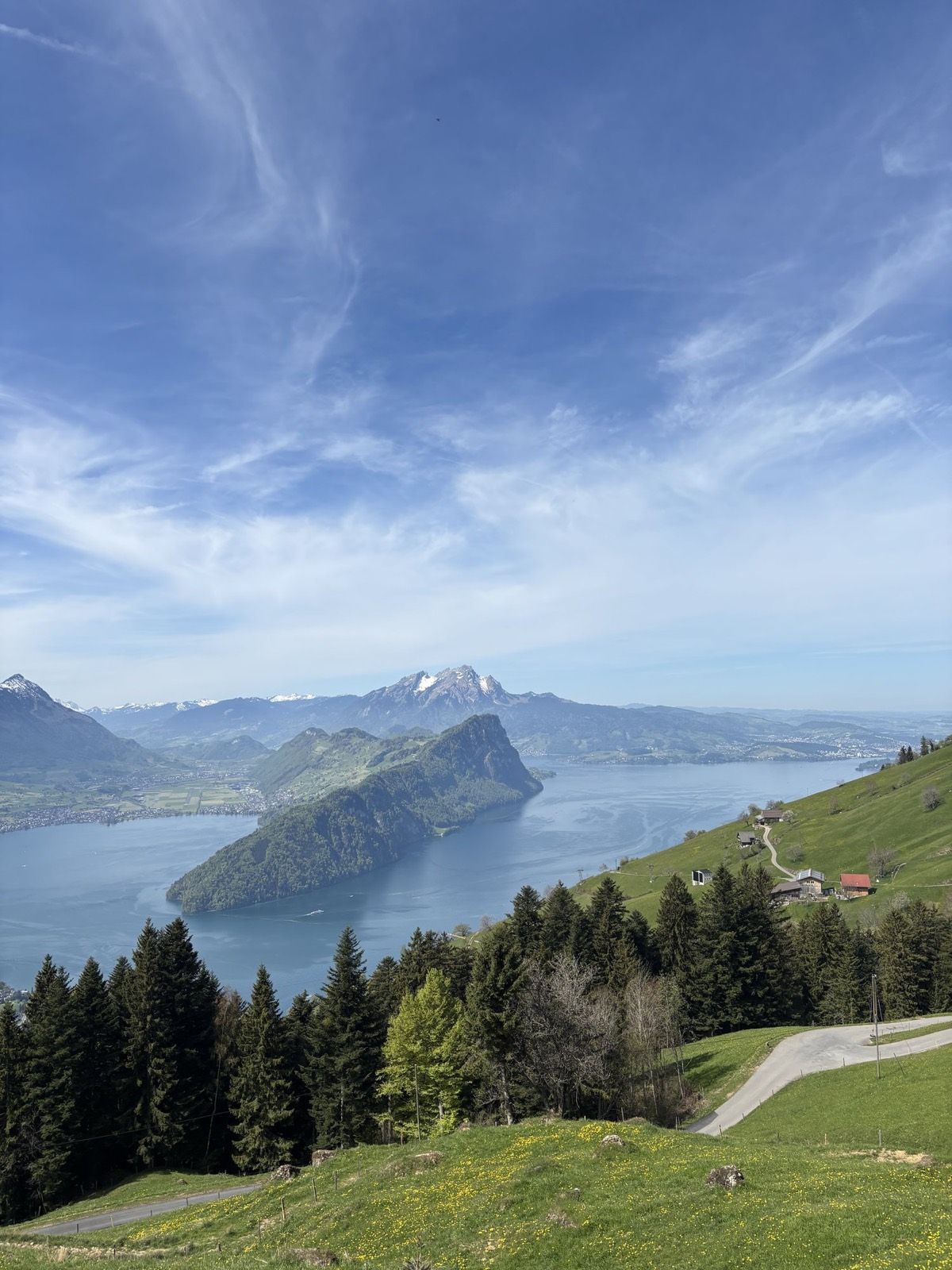
Depending on the snow conditions, this hike on the southern side of Rigi can work surprisingly early in spring. Instead of approaching from the popular northern side, you start above Vitznau, walk over Rigi Scheidegg and descend all the way to Arth-Goldau.
Starting above Vitznau
We did the hike at the end of April and first travelled via Zug to Vitznau. From there, we took the small Vitznau–Hinterbergen cable car. It is much smaller than the well-known Rigi railways and is operated independently. Rather than following a fixed timetable, it runs on demand and takes you to roughly 1,100 metres in only a few minutes. At the time of our trip, a one-way ticket cost CHF 10, which is unusually inexpensive by Swiss standards.
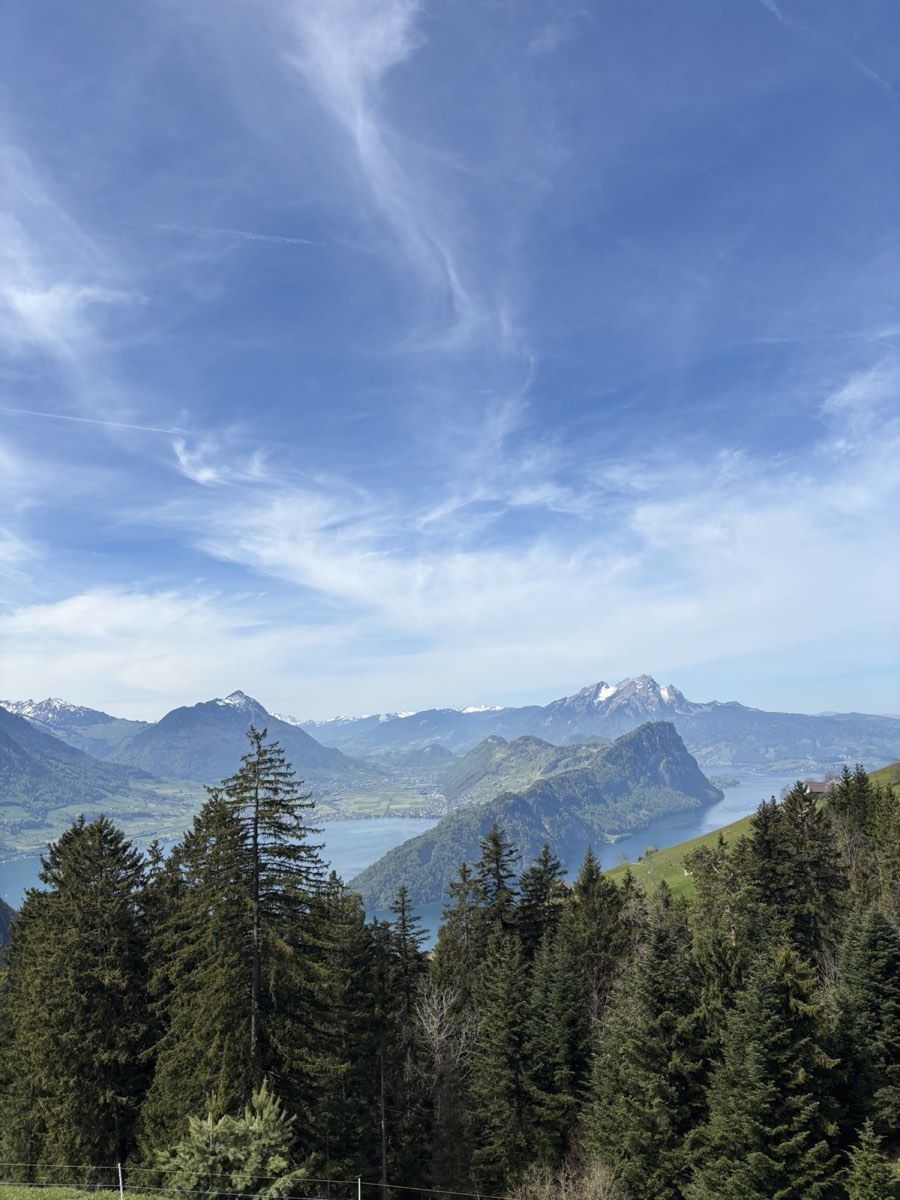
From Hinterbergen, the path initially climbs gently across meadows and along small farm tracks. After a while, it reaches Fälmisegg at 1,176 metres, a small saddle between Vitznauerstock and the wider Rigi massif. From here, the route gradually becomes steeper and continues along the ridge towards Rigi Scheidegg.
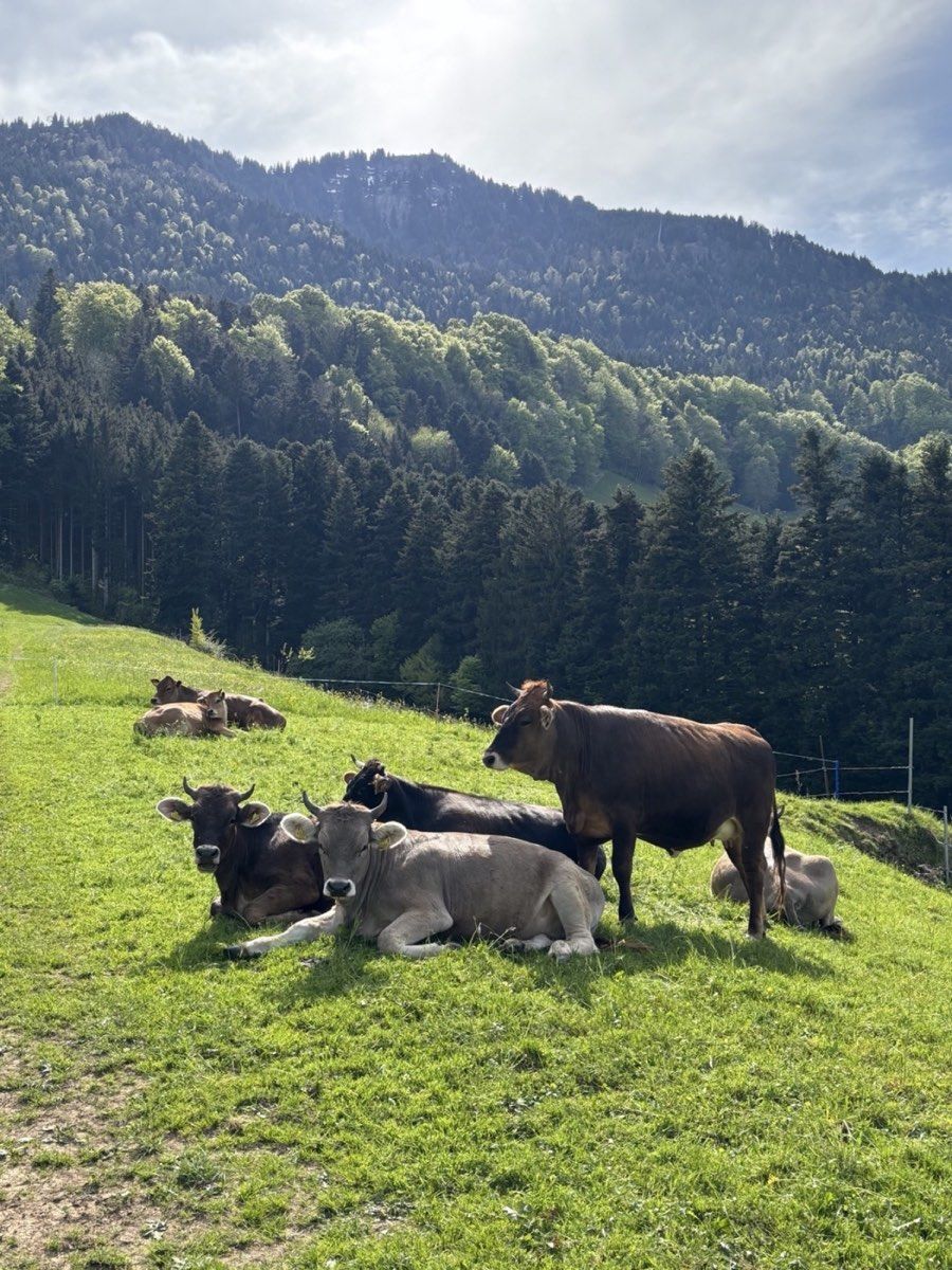
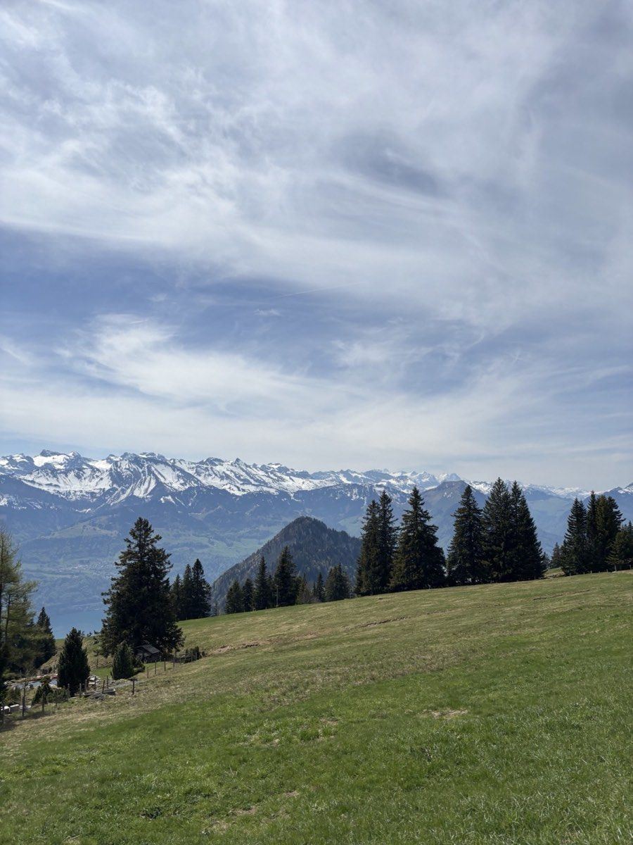
I particularly liked this section. You remain well away from the busier areas around Rigi Kulm but still get repeated views over Lake Lucerne and the surrounding mountains. At the same time, the path gains height steadily until you eventually reach Rigi Scheidegg.
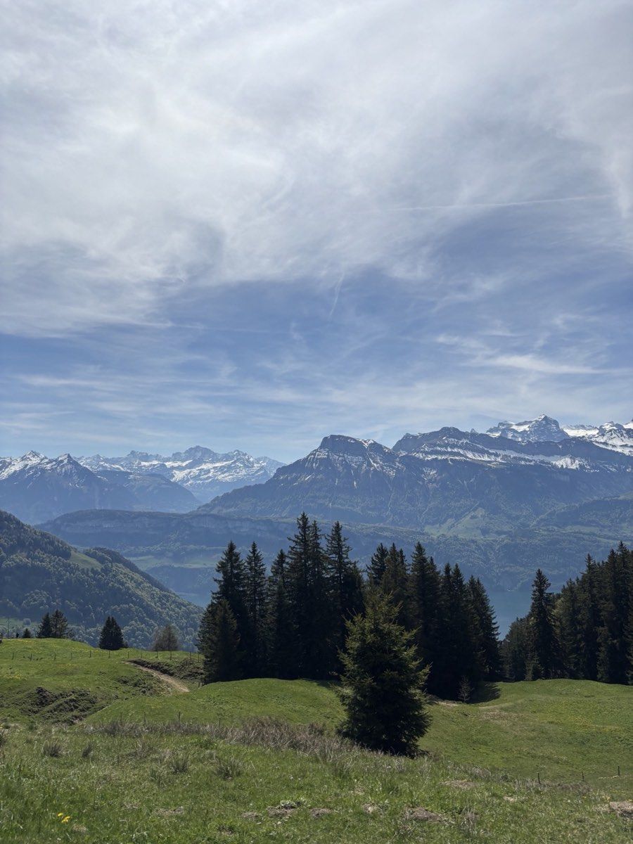
At the top, there are several places where you can stop for food or a drink. In good weather, it is worth staying a little longer because the view stretches far across Central Switzerland.
What spring looked like for us
At the end of April, almost the entire route was free of snow. The only substantial patch lay directly behind Rigi Scheidegg on the shaded northern slope below Dossen. We had to cross one medium-sized snowfield there; everywhere else, we walked on snow-free ground.
I would not take our snow-free day to mean that the route is clear at the same time every year. Spring conditions vary considerably. Before leaving, I would check the Rigi webcams, the snow-depth layer in the swisstopo app and current SLF or White Risk information.
Several ways to finish
From Rigi Scheidegg, the route can be adapted in several ways. You can return to Hinterbergen by another path, continue along the Rigi ridge and take one of the railways down later, or descend immediately by cable car and cog railway towards Arth-Goldau.
We chose the longest version and walked all the way down to Arth-Goldau.
The path first crosses the broad plateau beyond Rigi Scheidegg. Here, the tracks are still wide and well maintained, and you lose height only gradually. A longer descent on forest roads follows before the character of the hike changes noticeably.
The trail becomes smaller and at times quite steep as it drops through the forest. Between the trees, views open repeatedly towards Arth-Goldau and the surrounding mountains. After the broad, exposed landscape around Rigi Scheidegg, this section almost feels like a second, much more wooded hike.
Farther down, the path reaches wider forestry tracks again and the gradient slowly eases. From there, it is not far to Arth-Goldau and the railway station.
Distance and difficulty
Our version was 13.8 kilometres long, with 625 metres of ascent and 1,130 metres of descent. The amount of descending should not be underestimated. The climb is not exceptionally hard, but after more than 1,000 metres downhill, you eventually feel the route in your legs.
The main advantage is flexibility. If the complete distance becomes too much, several railways and cable cars around Rigi Scheidegg make it possible to shorten the hike significantly.
For late spring, I found the southern side of the Rigi especially appealing. While many higher Alpine routes can still be buried in snow, this already feels like a proper mountain hike, with wide views over Lake Lucerne and Central Switzerland.
For me, it is therefore a very good shoulder-season option: real mountain scenery without having to plan a classic high-alpine summer hike.